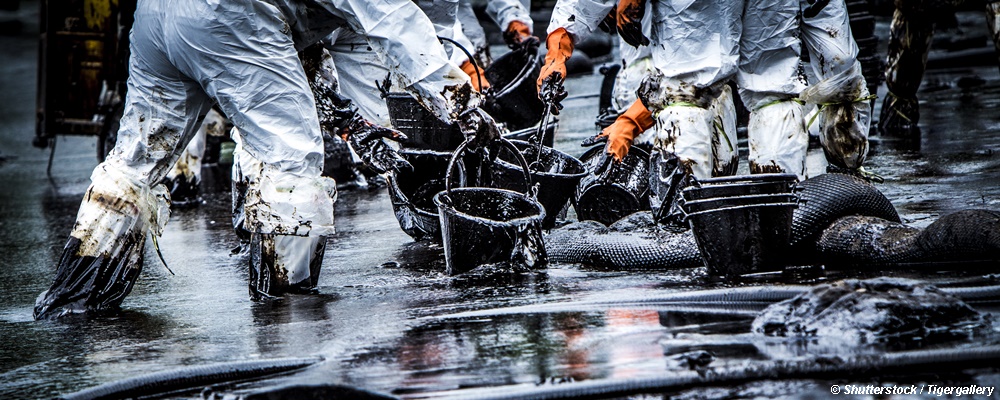
It is a well-known fact that accidental oil spills can cause significant negative impacts on the environment – affecting ecosystems, bringing distress to marine life, damaging waterways, ruining infrastructure and economy, to name a few.
The 2010 Deep Water Horizon oil spill in the coastal waters of the Gulf of Mexico – often cited as the worst environmental disaster in the United States – saw up to 800,000 bird mortalities and approximately 60% decline in the number of laughing gulls along the Gulf coast between 2010 and 2013. Demands are therefore being placed on oil companies, service providers and environmental authorities to be prepared to take proper and efficient action, should an accident occur.
To assure efficiency in emergency situations, computer-based modelling of both trajectories and transformation of the spilled oil is necessary to predict the future location and condition of the oil spill. This prediction makes it possible to direct the remedial equipment to the most adequate positions. Such predictions often pose a considerable problem for the responsible organisation, since the employed techniques are complicated and require specialised staff to undertake the modelling tasks.
The need for quick and reliable oil spill forecasting
New services have been developed in recent times to make oil spill modelling in emergency situations much faster and easier, allowing less specialised personnel to undertake forecasting tasks effectively. Online oil spill services usually promise ease of use due to their straightforward interface, giving organisations the ability to access oil spill data anywhere. As such, they offer significant cost savings as compared to traditional methods.
One example of such a service is the GlobalSEA Oil Spill, a cloud-based online applications that operates 24/7 and therefore always ready for usage when an emergency situation occurs. The fundamental hydrodynamic forecasts are undertaken by the service on a global scale – developed by professionals using the best environmental data in the market. When an incident occurs, the user can define and execute a forecast in just a few minutes. This gives the responsible organisation easy and fast knowledge on where and when to activate personnel and equipment to reduce the damage.
In this manner, a complicated setup is replaced with a service that requires no specific hardware, no specialised personnel to operate and no need for specialised attention when an oil spill is not occurring – something which after all (and luckily) is by far the most common situation.


