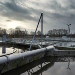


For many ports and harbours, maintenance dredging is the biggest single expenditure in their goal to ensure clear and safe navigation.
Along sandy coasts, sediment is transported along the shoreline by the impact of waves, tide and currents, and potentially accumulates in port areas.
This accumulation of sediment results in reduced water depths in the approach channel or in port basins – and constitutes a risk for navigation and restricts the vessel size that ports can accommodate.
The rates and implications of the sediment transport are often not recognised until human interactions interfere with the natural environment.
Long-term simulations of the seasonal and annual variations of the sediment transport and changes to the bathymetry in the access channel, port areas and along the adjacent coasts, is the key to predict sedimentation in ports and to analyse potential mitigation measures.
This brings us another step closer to the goal of forecasting bathymetry evolution in the future. Such information is crucial for planning and optimisation of maintenance dredging activities or design of other mitigation measures.
New port or changing an existing port? Map your risks in terms of operational costs and risks
Sediment transport simulations, such as through MIKE 21/3 Sand Transport, can help predict the areas at risk of sediment accumulation. Long-term morphological simulations predict the temporal development of the sedimentation rates and eventually the bathymetry. The costs of dredging, limitations to port operation and erosion/deposition along the adjacent coasts can thereby be considered.
Optimise your port layout
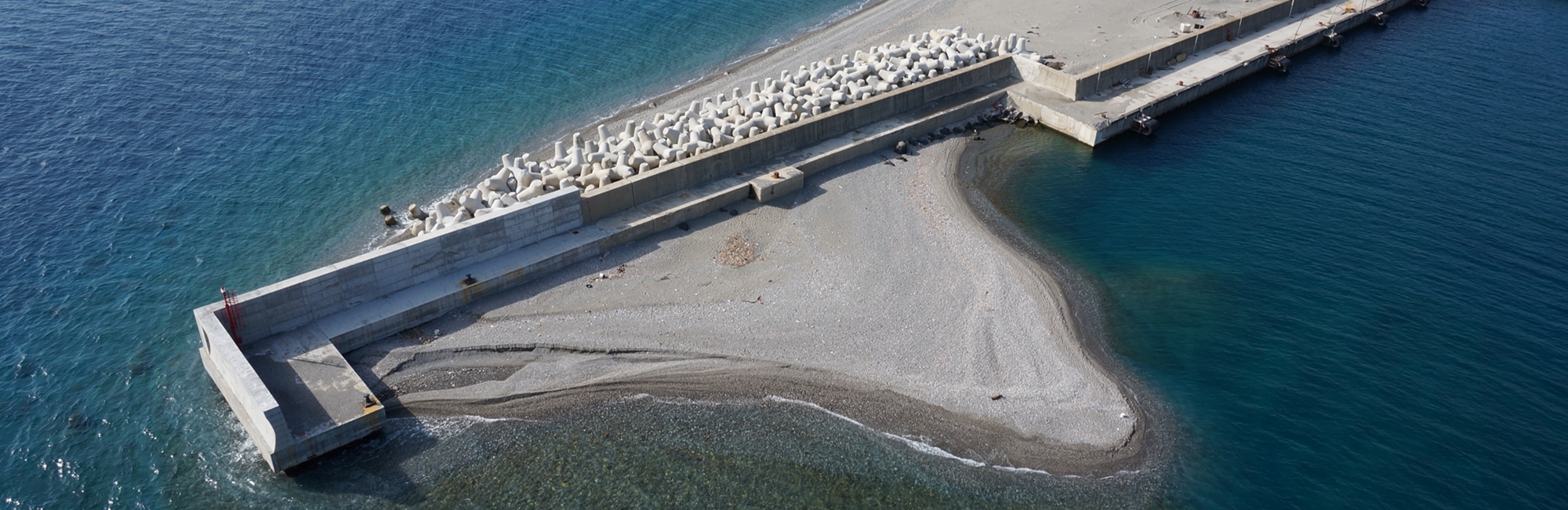
The port layout – in particular, the design of the outer breakwaters – influences the rates and areas of sedimentation. In an optimal situation, the currents and waves are able to bypass a majority of the sediment naturally around the port.
It is not always possible to build bypass ports, but changes to the layout may reduce the risks for unfavourable sedimentation, relieve the pressure on the dredging costs and increase the navigational depth for the same dredging budget.
Today, cost-efficient optimisations can be studied with modern morphological models by embedding alternative options of the port design, including access channel, port basin and adjacent coasts into the modelling complex.