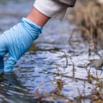

World Wetlands Day is celebrated every year on the 2nd of February to help raise public awareness about the importance and value of wetlands.
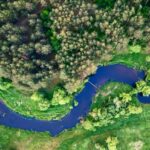
Wetlands are one of our most precious resources, providing people and societies with many important benefits. They:
- act as a sponge, absorbing and storing excess water to reduce floods and delay the onset of droughts
- trap sediments, improving water quality in associated watersheds
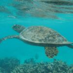
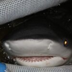
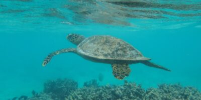
- provide important habitats for many different species
- have great cultural and recreational value
Despite their value, wetlands are facing major threats due to a number of reasons: conversion for commercial development, overfishing, tourism, pollution and climate change, to name a few. This is why there is a need to maintain wetlands and protect ecosystems from further damage in the long run.
Earth Observation satellites can play a big part in wetland conservation
Since 1971, the Ramsar Convention on wetlands has been the intergovernmental treaty, providing the framework for national actions and international cooperation for the conservation and wise usage of wetlands.
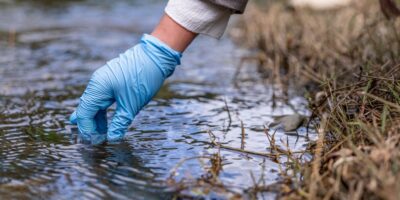
Effort to preserve wetlands has been hampered by a lack of information about the locations, types and sizes of wetland resources. Data acquired by Earth Observation satellites can provide decision makers and practitioners with the information needed to adapt and modify wetland conservation and restoration plans.

The European Earth Observation programme Copernicus offers an unprecedented land surface monitoring capacity. The GlobWetland Africa software toolbox provide users with the necessary methods and tools to make the best use of the Copernicus satellite observations for wetlands inventory, assessment and monitoring. © European Space Agency
GlobWetland Africa is a large Earth Observation application project funded by the European Space Agency (ESA) in partnership with the African Team of the Ramsar convention on wetlands. The project is initiated to facilitate the exploitation of satellite observations for the conservation, wise-use and effective management of wetlands in Africa. In addition, GlobWetland Africa aims to provide African stakeholders with the necessary Earth Observation methods and tools to better fulfil their commitments and obligations towards the Ramsar Convention on Wetlands.
Using geoinformation technology to support wetlands management decisions
Central to GlobWetland Africa is an open source software toolbox and a large portfolio of geoinformation products for characterising wetland status and trends, and supporting wetland management decisions and planning, by answering questions such as:
- What is the wetland extent and how has it changed over time?
- Is the wetland under threat from urbanisation, agriculture and/or aquaculture?
- Are there any signs of water quality deterioration, for example, eutrophication or large sediment loads?
- To what extent will climate change and upstream water use affect the wetland ecosystem?
Want to learn more?
Please contact the author or visit www.globwetland-africa.org if you want to learn more on how Earth Observation can be used to take stock of your wetlands.