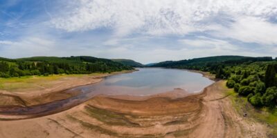

With growing populations, rising sea levels and raging storms, more and more people are finding themselves susceptible to severe flood events. Floods are detrimental to people, assets, infrastructure and the economy, and the effects are being felt worldwide. A United Nations report estimates that the number of people vulnerable to flood disaster could soar to 2 billion by 2050. As the frequency of these events increase, floods will no longer be ‘once in a lifetime’ incidents, but could instead become regular occurrences for many communities.
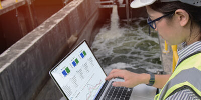
Despite proper management measures and strong flood modelling tools, floods cannot be prevented altogether, but we can manage and mitigate their impacts. Accurate data is clearly needed to support and underpin flood control and management activities. Yet, in many cases, data is either incomplete or missing entirely.
The good news is that new satellite data holds significant potential to address this gap. In this article, we will explain how frontline satellite-based technology can help us make use of this data to meet our flood monitoring needs.
How do space-based solutions address the existing data gap?
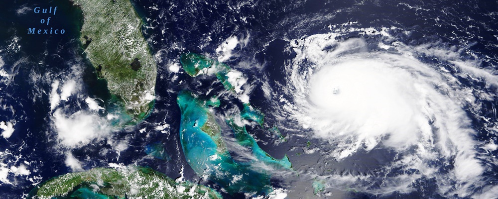
Satellite technology has been though explosive development in recent years and new sensors with augmented capabilities – even entire constellations of microsatellites – are sent into space on a regular basis. As a result, hundreds of satellites orbit above us in space every single day with one purpose – to acquire and deliver timely data and information about our land surfaces.
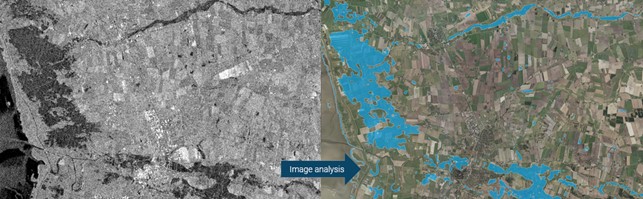
Satellites do this by measuring the amount of electromagnetic energy that is reflected from, or emitted by, the earth’s surface. The most common sensors are ‘passive’ optical sensors, i.e., sensors that detect the amount of naturally occurring electromagnetic radiation that is reflected back from the earth’s surface. The ‘active sensors’, including synthetic-aperture radar (SAR), emit active electromagnetic energy and measure the amount of energy returned to the satellite. The advantage of using radar data lies in its ability to penetrate clouds and measure during nighttime conditions. This ensures a continuous and consistent data base, even when the use of optical data is limited by cloud cover, or time of day.
From their synoptic vantage point in space, satellites provide a cost-effective and timely resource to map and monitor the near real-time extent of ongoing flood events. At the same time, through historic data archives covering the last 40 years, we can estimate the frequency of floods that have happened in the past on any land surface on earth.
The race for timely and operational flood data to support critical decision-making
With a vast repository of highly frequent and accurate satellite data available at our fingertips, timeliness is determined by our ability to systematically acquire the latest satellite data and automate the processing workflows. This is the key towards near real-time flood monitoring solutions, and particularly important in emergency situations where time is critical.
Using advanced image analytics, machine learning and scalable processing platforms, we have automated the entire workflow. From automatic acquisition of the latest satellite data, through automated preprocessing and processing workflows, to the final postprocessing stages, users are able to gain access to flood data in just a few hours – saving a significant amount of time as compared to traditional methods. And by fusing both optical and radar satellite data, flooded areas can be mapped quickly, with high precision and regardless of weather conditions, cloud cover and time of day.
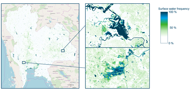
Applying the same tool and framework, long time series of satellite data can also be automatically processed, allowing us to assess the frequency of surface water over a given period of time, whether in the last several years or the last month. The surface water frequency data leveraged through this framework provides insight into flood vulnerability and likelihood, based on empirical evidence from all past events, and this is useful for flood mitigation management planning, climate adaptation strategies, spatial planning, for estimating insurance premiums and much more.
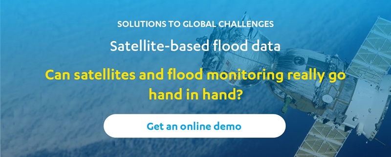
Curious about satellites and flood monitoring? Get an online demonstration of the new Flood Metrics portal
Flood Metrics aims to make satellite-based flood data more available and accessible than ever, so that the right data products meet the right people, and in time! Help us improve the portal to fully meet your needs and requirements. Get an online demonstration and let us know what you think about the platform and the relevance of the data products. Explore Flood Metrics for yourself at https://floodmetrics.dhigroup.com/