
Data & analytics, Earth observation, Technology & innovation
blog.dhigroup.com
Page 1/1
Mads is passionate about building and sustaining capacity in the effective use of earth observation to respond to societal challenges, environmental and sustainable development issues. This includes exploring how satellite-derived information can contribute to informed decision-making, in line with the United Nations 2030 Agenda for Sustainable Development.
Data & analytics, Earth observation, Technology & innovation
Data & analytics, Earth observation, Environment and ecosystems management, Technology & innovation

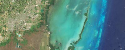
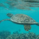
Data & analytics, Earth observation, Environment and ecosystems management, Marine and coast, Technology & innovation
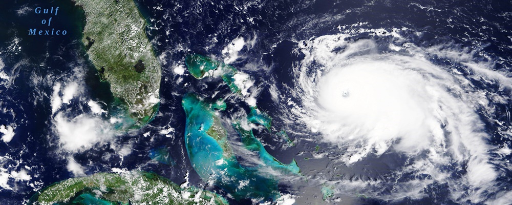
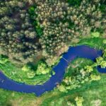
Cities, Data & analytics, Earth observation, Flood risk management, Technology & innovation, Water resources
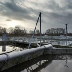
Modelling in practice: Wastewater process modelling in a digital age
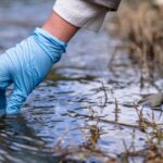
Modelling in practice: How models help explain water quality

Modelling in practice: How Python turns models into usable decisions
Modelling in practice: Understanding underwater noise
Modelling in practice: A look inside hydrological modelling