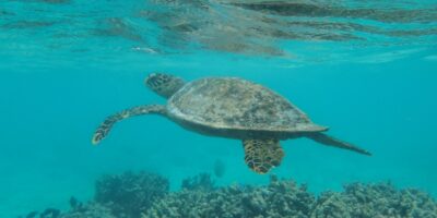
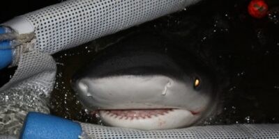

To protect life below and above sea around an offshore wind development, it is important to detect mobile marine species and identify the environmental conditions that influence their movements.
However, this is difficult due to the wide-ranging, patchy distributions of marine mammals and seabirds. Luckily, dynamic habitat modelling can identify environmental variables, like currents, that affect marine animal movement. These models produce habitat suitability maps showing potential marine animal hot-spots, sensitive areas and other important zones. On top of that, agent-based models can generate detailed maps of marine animal movements and distribution in and around a wind farm area.
Sounds interesting? Learn more in this discussion between Henrik Skov, Senior Project Manager and Spatial Ecologist at DHI and Frank Thomsen, Senior Marine Scientist at DHI.
Frank: Henrik, to protect marine life, offshore wind developers and sometimes the government have to carry out environmental impact assessments (EIAs). In this context, can you outline what are animal distribution models and why are they useful for this purpose?
Henrik: If you go back in time, animal distribution models were not used very much as compared to impact assessments and other assessments in relation to human activities offshore. But now requirements in relation to impact assessments are increasing. There’s a need to document not only what you’re observing in an area – such as during a survey – but also a need to describe for example, the distribution and movement of a species over long periods of time. With models, what you’re able to assess is the typical occurrence of a species in an area over many years.
That is why modelling has become an important tool; modelling not just of the distribution but also modelling or prediction of how animals are moving through an area.
Frank: In the past, we have been doing area surveys and shipboard surveys that gave us an enormous database. What is the advantage of doing modelling and not just monitoring?
Henrik: There are two main reasons to do modelling and not just rely on surveys. The first reason is no matter what surveys you’re doing, they’ll always be representing periods of time – small windows of time, fragmented both in space and in time. We need a way to extrapolate those results both spatially and temporally to show where the animals are all the time, over a period. So that’s one reason.
Another reason is from the data itself, it’s very difficult to identify how sure you are of the results. You can look at the patterns, but you need to have a means to quantify the confidence – what the distribution is, what the density is. That’s another good reason to use models.
Frank: So, what you’re saying is that monitoring offers snapshots, for instance, during an area survey we observe marine life once a month. But models are really telling us about the dynamics of the distribution over an entire period.
Henrik: Yes, when you’re monitoring offshore, you’re in an environment that changes continuously. Although a survey just takes one day, but during that day there’re many different situations. The environment and landscape in the sea would change continuously over that one day. So you need to not only sample one situation but many situations. And if you want to have a chance to generalise patterns, you need to relate those observations to the dynamics of the sea. The main benefit of using models is that they provide predictions to generalise patterns and movements.
Interested in more offshore wind insights? Check out another of our interviews here: 30 years of offshore wind
Read our eBook to discover how to overcome both environmental and engineering challenges in offshore wind development
Download the eBook and explore the latest technologies, best practices and real-world examples!